
Driving down the freeway to work today (Monday) in SoCal I noticed a bit of haze far ahead. Coastal fog? As I got closer it eased up and I thought no more about it.
When I got to the parking lot where I work, I noticed a huge smoke cloud in the distance. I knew there were major fires in northern California, but SoCal is nowhere near there and it confused me. Turns out a new fire started in Anaheim Hills this morning and as I write, it’s up to 5000 acres (edit: now 7500).
I currently work in IT where I put out technical fires, but in decades past I was a photojournalist, so out of habit I had to make some images of this blaze.
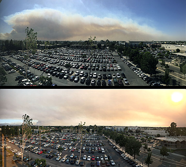
Here is a set of iPhone panos (the top taken in the morning from the 6th floor of an office building, the bottom in the afternoon) showing the size and progression of the fire.
(Fun fact: If you squint really really really hard from this vantage point, you can see the highest parts of Disneyland on the right horizon, 3/4 of the way from far left (it’s actually there, but not visible in these particular photos). Turn 90 degrees to the right, same with Knotts Berry Farm.)
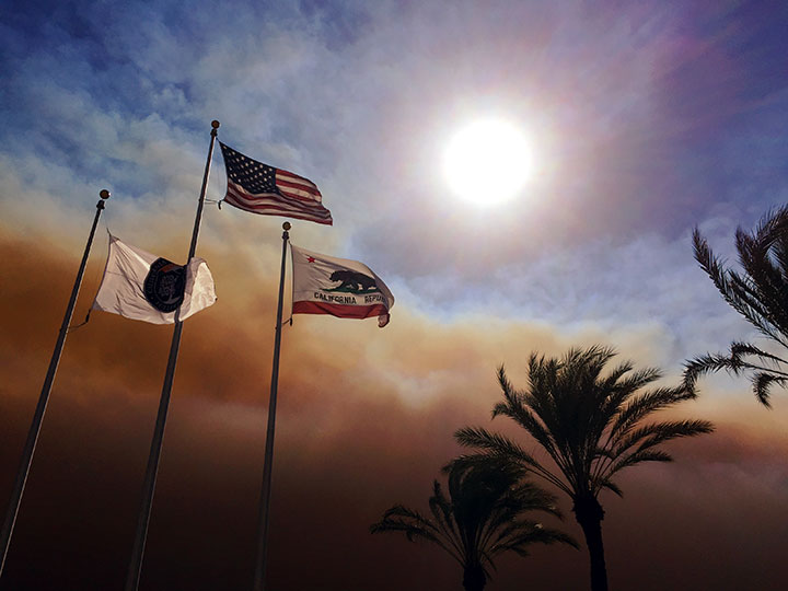
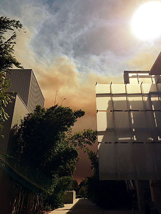
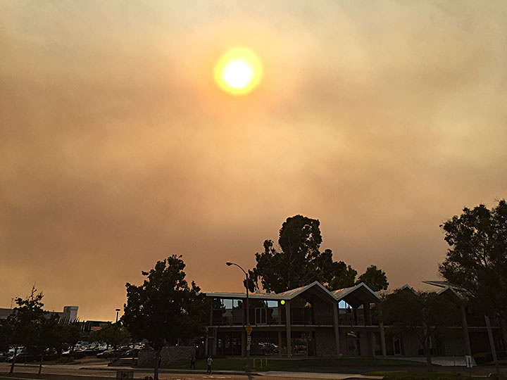
Before too long I had to do some work in a different building and as I walked to and from it, I captured these additional iPhone images:
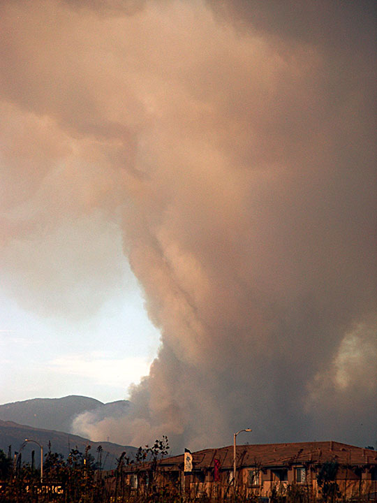
The last time I saw smoke this bad (according to my stock photo collection) was 2003 and 2006. Here’s an example from 2003:
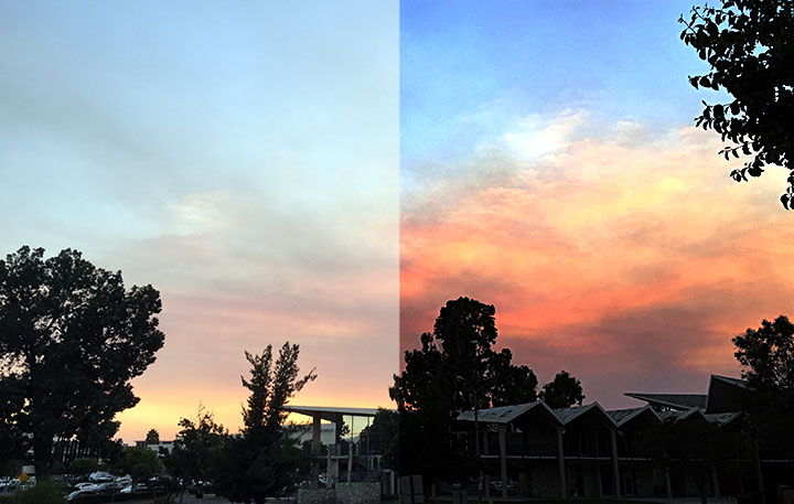
Update: As the sun sets, from ground level and looking away from the fire you would never know there was an emergency today! Unless you tweak the color a bit (before/after):
Thanks for reading! Please check out the main Plugs ‘n Pixels website.